Street Tree Inventory
Our City's Street Trees
The City of Columbus maintains a GIS-based inventory of city-owned trees, including street and parks trees. By physically visiting individual trees on public land, arborists capture information like species, size, location and condition. The inventory also now includes suitable planting sites in the right-of-way, along with what size tree can be planted there.
In 2023, the City of Columbus completed an inventory of all street trees and planting sites. In Columbus, there are over 125,000 street trees and more than 96,000 right-of-way planting sites, meaning that 56 percent of the streets are stocked with trees. This updated inventory will be a key tool to proactively manage a healthy urban forest.
The last time the City’s street tree inventory was comprehensively updated was in 1996. The Urban Forestry Master Plan highlighted the need for accurate data so in 2020, the department commissioned a pilot neighborhood street tree inventory for the South Linden community. In 2021, six more communities were inventoried. In 2022, tree inventory data was collected for the rest of the city. All reports were completed in 2023 for a total of 41 community reports and one citywide report.
City of Columbus Report
Check out the citywide report! Some highlights include (all information as of 2023):
- The City of Columbus manages 125,796 trees.
- There are more than 96,000 planting sites along streets.
- Overall, the street trees are in good condition.
- The value of Columbus street trees is $248 million.
- The five most common street tree species are: red maple, callery pear, honeylocust, sugar maple and Freeman maple.
Below are summaries of the street tree inventories both citywide and by community.
Columbus Street Tree Inventory Summary
Check out the Columbus Street Tree Inventory Summary to see what trees are in the City of Columbus.
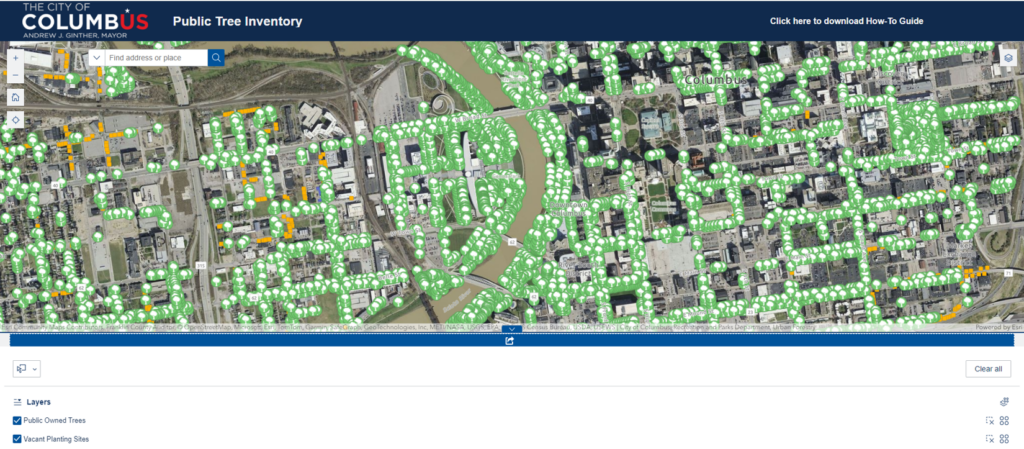
Street Tree Inventory Map
See what street and park trees are in your neighborhood! Use this map to see inventoried public trees, including species, size and date of last inspection.

