Central Ohio Greenways
The Central Ohio Greenways are over 230 miles of multi-use trail providing opportunities for transportation, exercise and connection to recreational and cultural spaces for Central Ohio residents and visitors. They also preserve green spaces and promote habitat connectivity. The Central Ohio Greenways are a regional effort and collaboration across Central Ohio municipalities. The Mid-Ohio Regional Planning Commission and Central Ohio Greenways Board provide support to the coordinated effort. Columbus Recreation and Parks Department designs, builds and manages the Greenway trails within the City of Columbus. Franklin County Metro Parks provides daily oversight for many sections of the Greenway trails within the City.

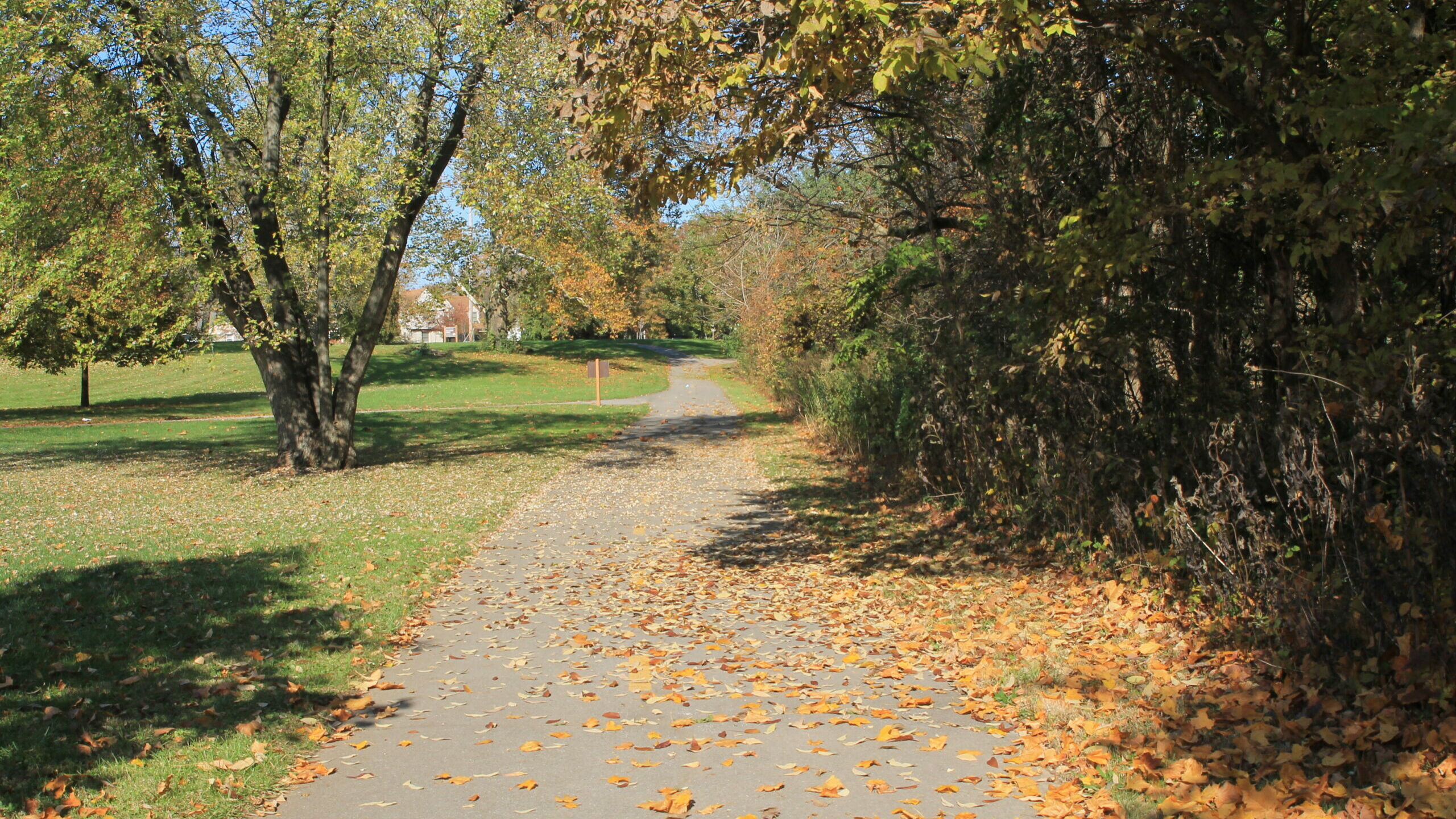
Alum Creek
Trail
Travel along one of the city’s most scenic river corridors, from Westerville to Three Creeks Park.
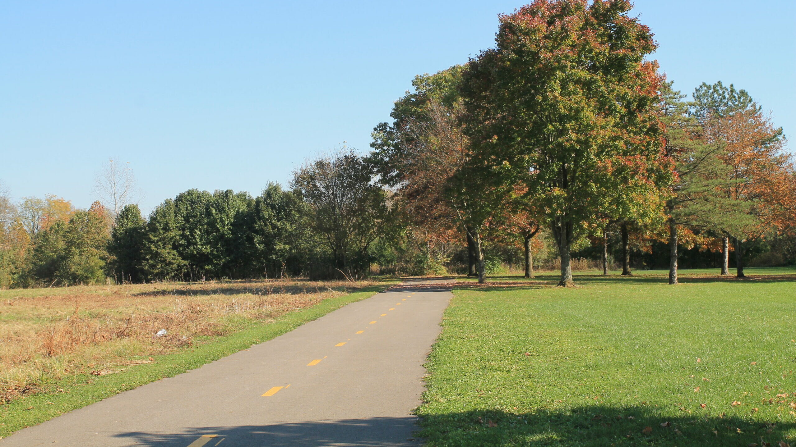
Big Walnut
Trail
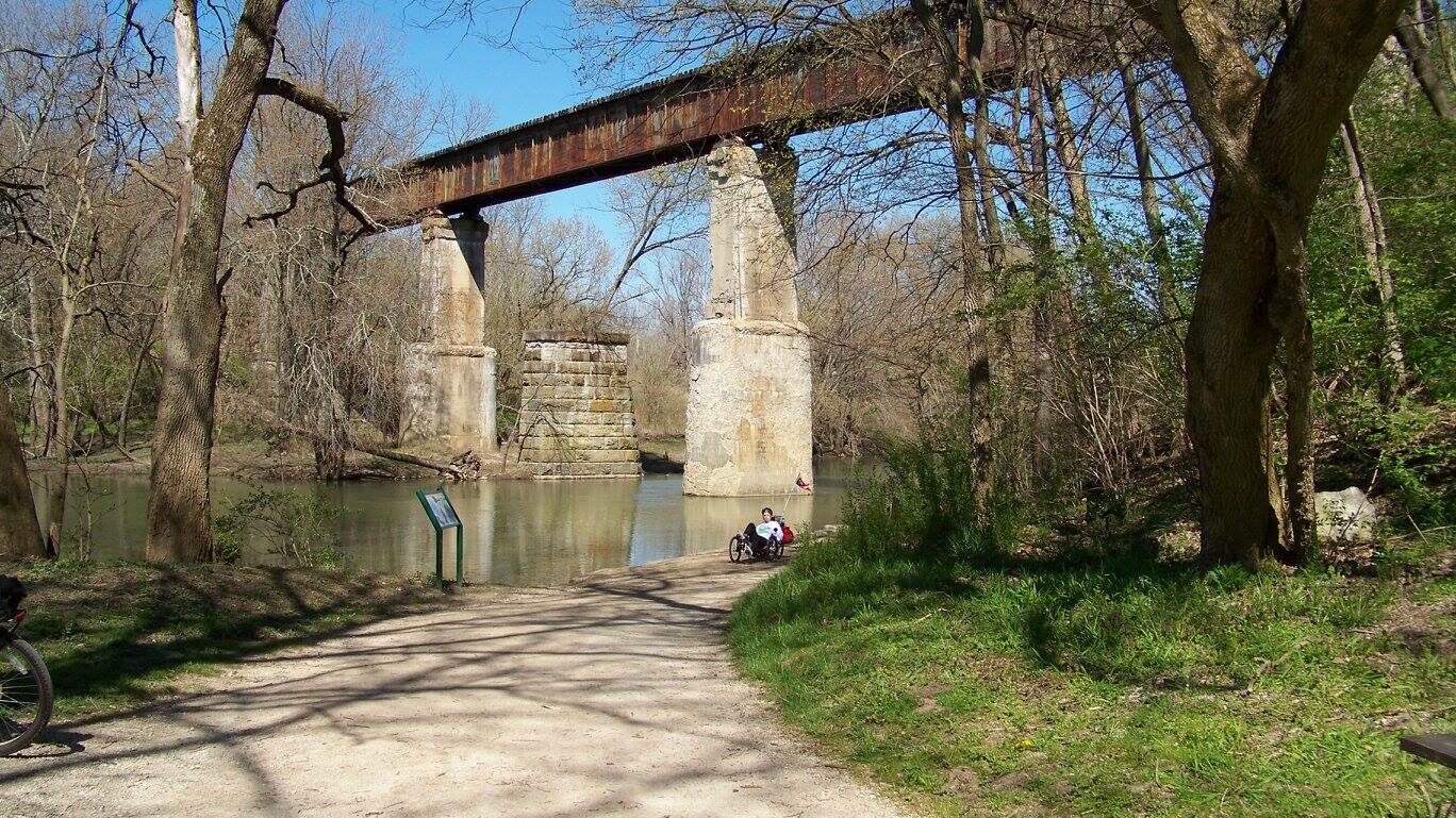
The Big Walnut Trail is a developing Central Ohio Greenway along Big Walnut Creek.
Blacklick Creek
Trail
The Blacklick Creek Trail weaves users throughout the scenic Blacklick Creek corridor.
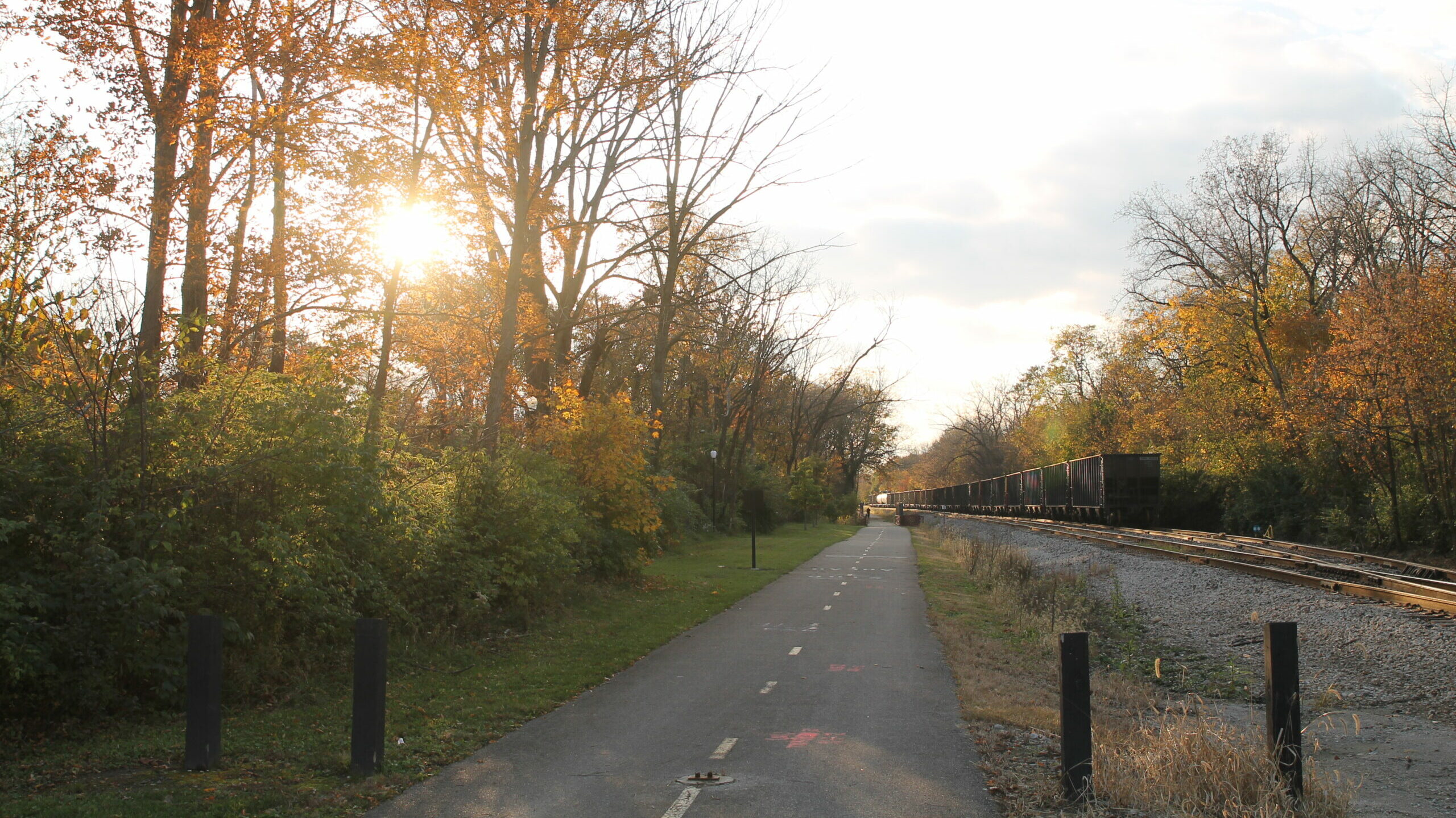
Camp Chase
Trail
The Camp Chase Trail is a rail trail that stretches from Madison County to the Scioto Trail.
Darby Creek
Trail
Accessed from the Camp Chase Trail, the Darby Creek Trail runs through Battelle Darby Metro Park.
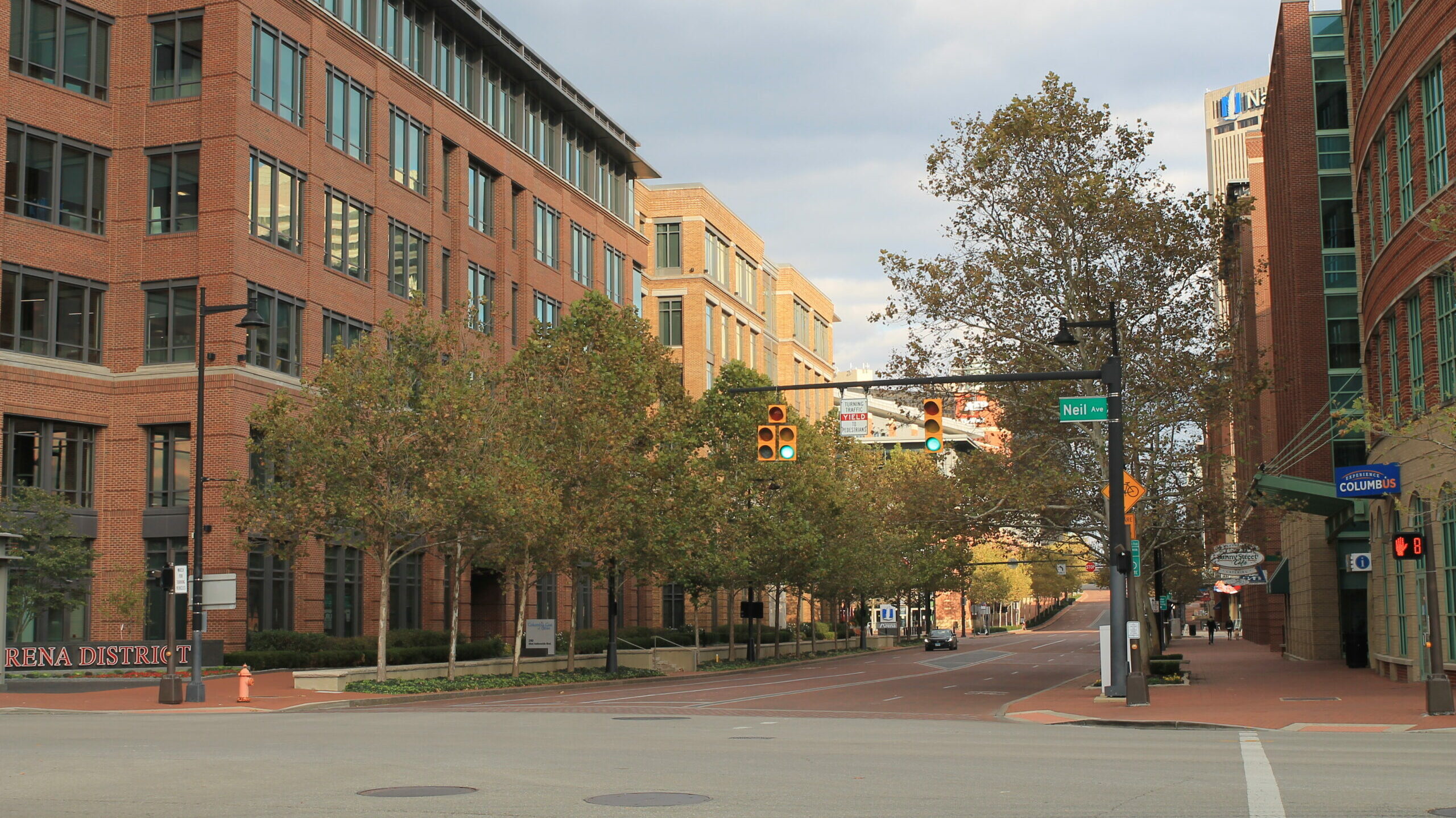
Downtown
Connector Trail
The Downtown Connector Trail provides west-east connectivity to the Alum Creek Trail.

Genoa
Trail
The Genoa Trail is a section of the Ohio to Erie Trail that stretches from Big Walnut Road to Plumb Road.
Hayden Run
Trail
The Hayden Run Trail is a developing Central Ohio Greenway from Northwest Columbus to Hilliard along Hayden Run.
Hellbranch
Trail
The Hellbranch Trail is a mix of asphalt and gravel trails and runs from Spindler Road Park to the Heritage Trail.

Heritage
Trail
The Heritage Trail is a rail trail that stretches from Old Hilliard to Plain City, connecting to surrounding subdivisions.
Olentangy
Trail
The Olentangy Trail spans from Worthington to downtown Columbus, along the scenic Olentangy River.
Rocky Fork
Trail
The Rocky Fork Trail is a developing Central Ohio Greenway along Rocky Fork Creek.
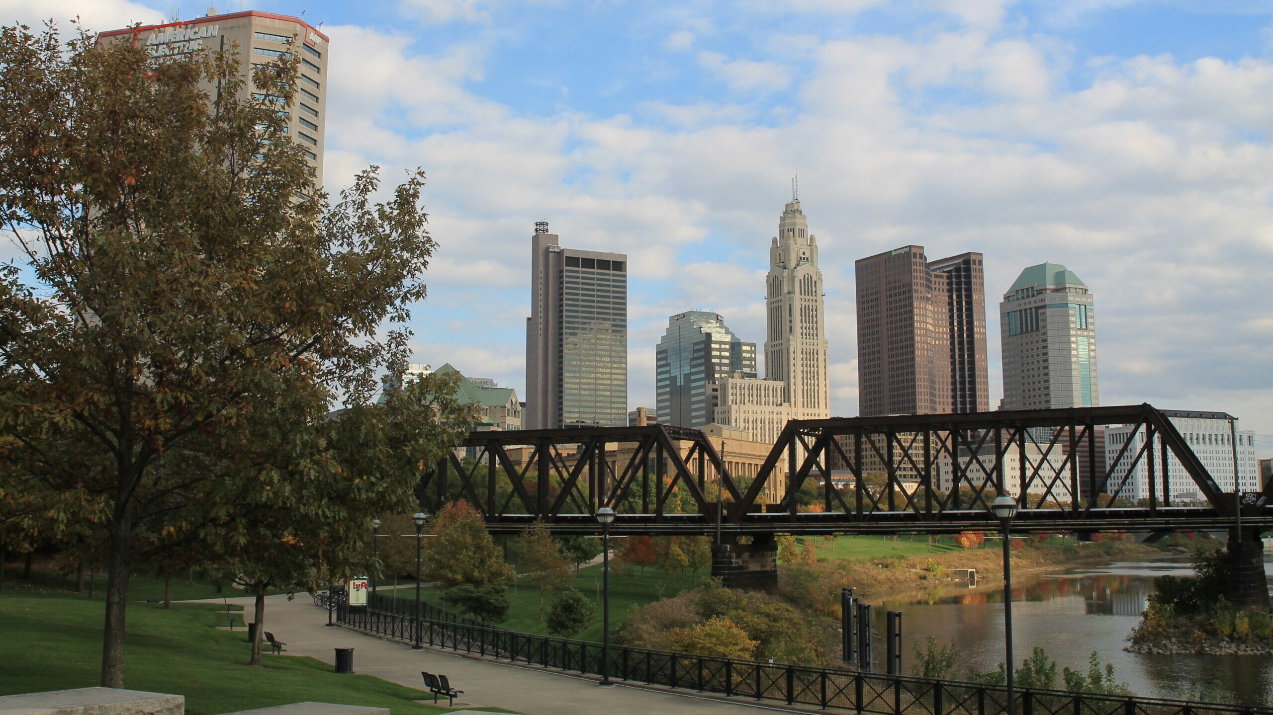
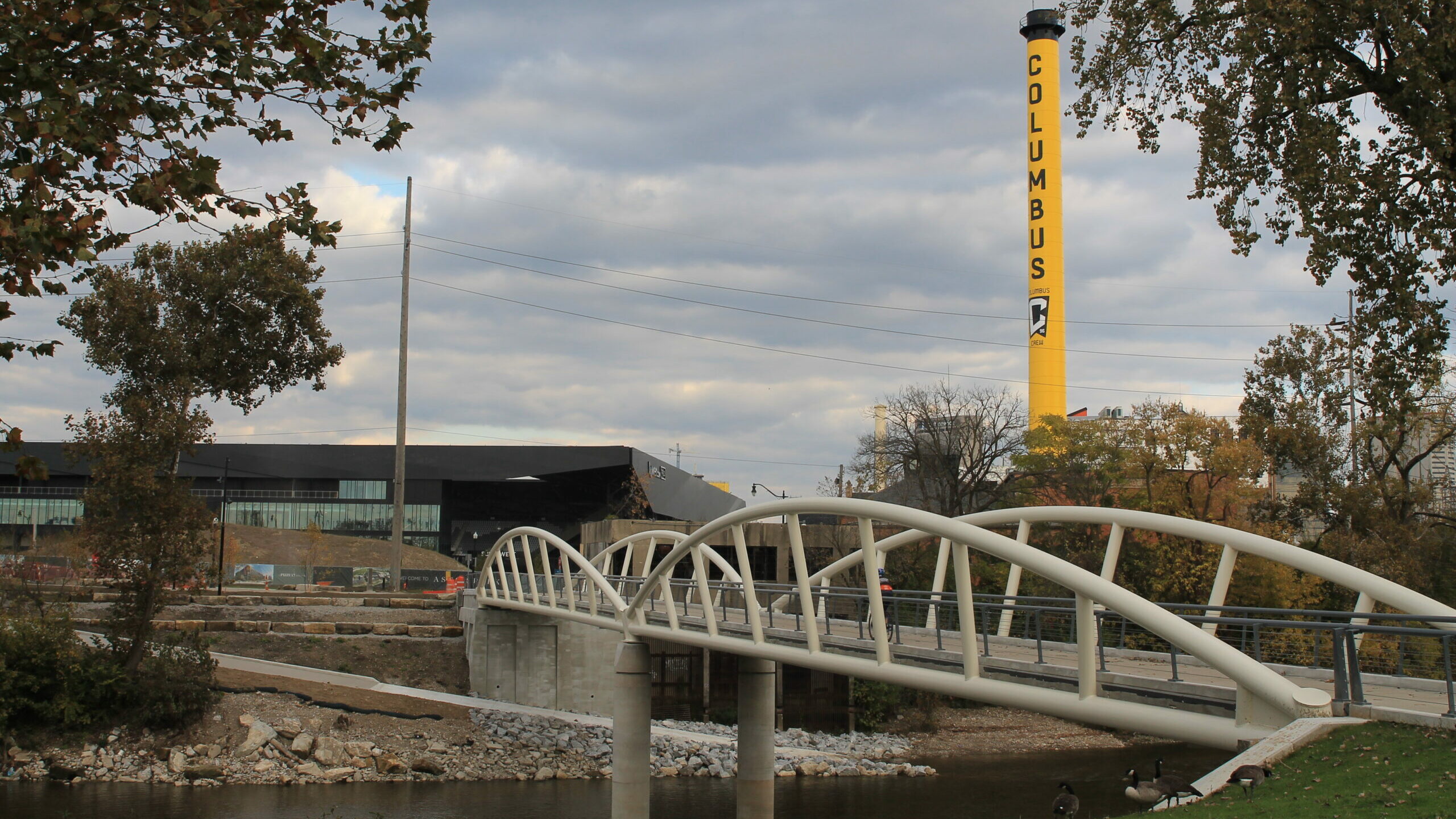
Scioto
Trail
The Scioto Trail stretches through the heart of downtown Columbus along the Scioto River.